AI TOOL / #08666
Flypix
A geospatial AI platform for Earth observation data that provides object detection and analysis.
Introduction
Geospatial AI platform for object detection and analysis on Earth observation data.
What is FlyPix AI?
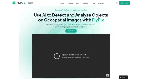
FlyPix AI is a geospatial AI platform that allows users to detect and analyze objects in geospatial images. It enables users to easily identify and analyze objects, train AI models to locate specific items, and process geospatial data associated with coordinates. The platform requires no prior knowledge of AI or machine learning.
How do I use FlyPix AI?
Users can upload geospatial images to the FlyPix AI platform, use the interactive sandbox to explore features, manually annotate objects to train custom AI models, and then use these models to automatically detect objects in new images.
Core Features of FlyPix AI
Object Detection and Analysis in Geospatial Images
Train AI models without any programming knowledge
Interactive Sandbox for Exploring Capabilities
Geospatial data associated with coordinates
Supports multispectral data
Train AI models without any programming knowledge
Interactive Sandbox for Exploring Capabilities
Geospatial data associated with coordinates
Supports multispectral data
Related
Biolytics
Biolytics is an app for tracking and understanding biomarker trends in lab test results.
Procys
An AI-based automated document processing and data extraction platform.
Redactable
AI-powered document editing software for quickly and securely removing sensitive data.
Alphamoon
An artificial intelligence-based platform designed for intelligent document processing and data extraction.
Image to Text (OCR)
A Chrome extension designed to extract editable text from images and PDF files.
OCR Vision – Convert Images to Text
AI-based tools enable fast and effortless extraction of text from images.